
Hidden Gems in Colorado Springs: Quick Answer
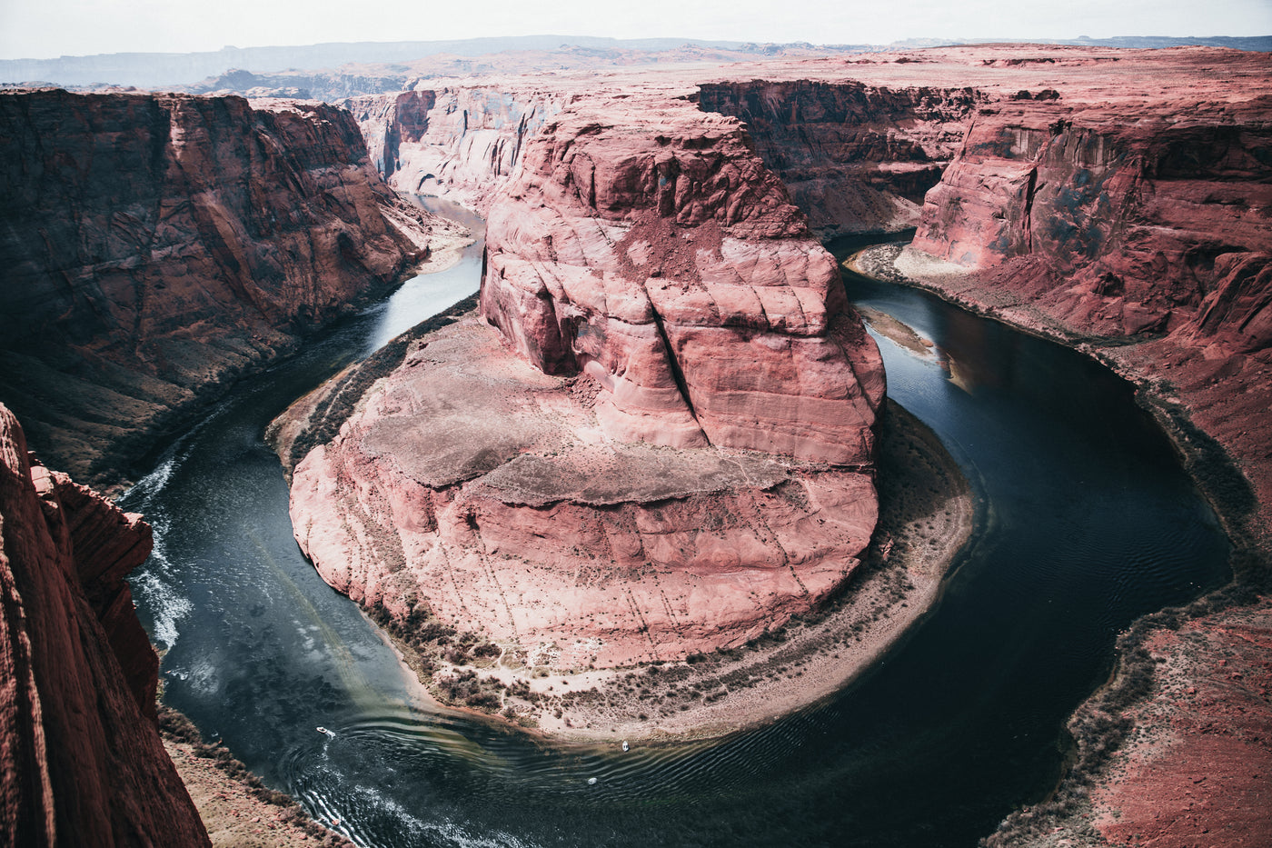
Hidden gems in Colorado Springs cluster west of I-25 where the plains meet the foothills, offering waterfall hikes, historic districts, and high-desert gardens that most tourists bypass. This guide covers seven specific locations, each with a real address, a best-time-to-visit window, and a practical heads-up on parking or permits, so you can build a low-stress, high-reward itinerary. You will get a three-day route that strings them together logically, plus the seasonal sweet spots and the one mistake that turns a quiet morning into a crowded scramble. For broader context on the region, see the Colorado Springs entry on Wikipedia.
7 Hidden Gems in Colorado Springs You Can Actually Reach
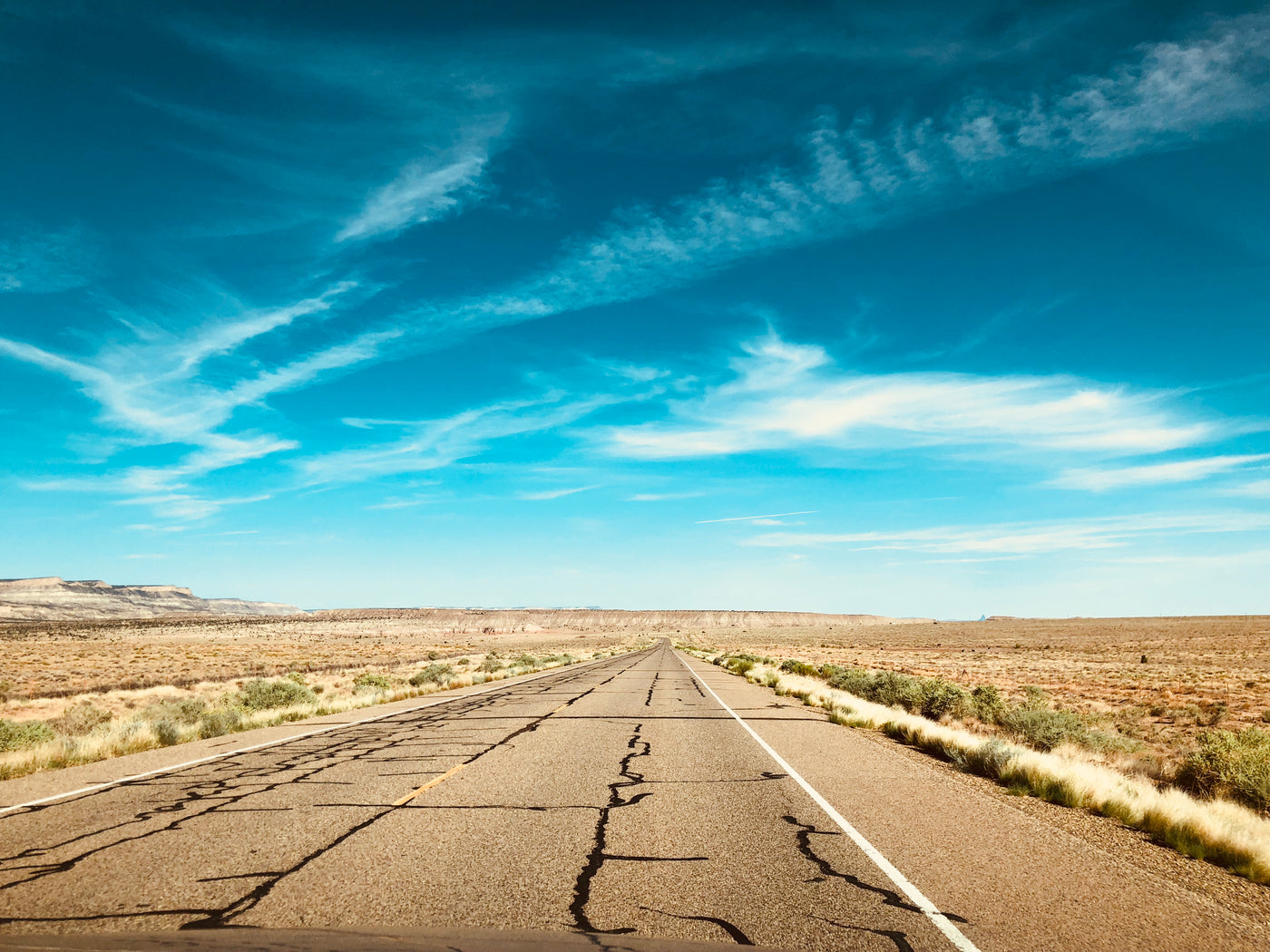
1North Cheyenne Cañon Park – Helen Hunt Falls & Silver Cascade Falls

North Cheyenne Cañon Park sits at the end of South Cheyenne Cañon Road, about 15 minutes from downtown. The park opens at 5 a.m. and closes at 10 p.m.; arrive by 7 a.m. on weekends to claim a spot in the small lot at the Starsmore Visitor and Nature Center. Helen Hunt Falls is a 0.2-mile walk from the lot on a paved path, wheelchair accessible and stroller friendly. Silver Cascade Falls requires a moderate 1.5-mile round-trip on the Columbine Trail with 400 feet of gain. Bring water; the creek is not treated for drinking. Leash law is enforced, and dogs are welcome on trails.
2Red Rock Canyon Open Space – Section 16 & Quarry Trail

Red Rock Canyon Open Space sprawls across 1,474 acres off Highway 24 west of 31st Street. The main lot at the 31st Street entrance fills by 8 a.m. on Saturdays; the secondary lot at Ridge Road often has space until 9:30 a.m. Section 16 offers a 3.2-mile loop with technical rock gardens popular with mountain bikers, hikers yield to bikes here. The Quarry Trail is a gentler 1.8-mile out-and-back to an old gypsum quarry with interpretive signs. No water sources on trail; carry at least two liters per person in summer. Free entry, no permit required.
3Stratton Open Space – The “Secret” Waterfall on the South Side

Stratton Open Space borders the Broadmoor neighborhood, accessed via the Cheyenne Mountain State Park trailhead on JL Ranch Heights Road. The “secret” waterfall, actually a seasonal cascade on the Stratton Trail, flows reliably April through June after snowmelt. The hike is 2.6 miles round-trip with 600 feet of elevation gain on loose decomposed granite; trekking poles help on the descent. Parking at the state park costs $10 per vehicle (Colorado State Parks pass accepted). Weekday mornings are nearly empty; weekends see a trickle of local trail runners by 8 a.m.
4Manitou Springs Historic District – Beyond the Penny Arcade

Manitou Springs sits six miles west of downtown via US-24. The historic district centers on Manitou Avenue between the creek and the cliff. Skip the main drag after 10 a.m.; duck into the side alleys for the Mineral Springs Walking Tour (free map at the Chamber kiosk) and the Miramont Castle Museum ($12 adult, check hours at miramontcastle.org). The Incline parking shuttle runs from 6 a.m. to 6 p.m. in peak season; park at the Hiawatha Gardens lot ($10/day) and ride up. Local breakfast at Adam’s Mountain Café (vegetarian-friendly, opens 7 a.m.) fuels a morning wander before tour buses arrive.
5Rock Ledge Ranch Historic Site – Living History Without the Crowds

Rock Ledge Ranch sits inside Garden of the Gods Park but operates as a separate 230-acre living-history farm at 3106 Gateway Road. Open Thursday through Saturday, 10 a.m. to 4 p.m., March through October. Admission is $8 adult, $4 child; free for active military with ID. Interpreters demonstrate blacksmithing, wool spinning, and 1880s homestead cooking. The site connects to the Perkins Central Garden Trail via a pedestrian underpass, combine a history stop with a flat 1.5-mile loop among the red rocks. Bring a picnic; no food service on site.
6Blodgett Peak Open Space – Summit Views Without the Pikes Peak Traffic

Blodgett Peak Open Space trailhead sits at the end of West Woodmen Road, 12 minutes north of the Air Force Academy. The Blodgett Peak Trail climbs 4.2 miles round-trip with 2,200 feet of gain, steep, exposed, and poorly marked above treeline. Start by 6 a.m. to avoid afternoon thunderstorms; carry a wind layer even in July. The summit delivers a 360-degree view from the Sangre de Cristos to the Palmer Divide. No facilities at the trailhead; use the restroom at the nearby King Soopers on Voyager Parkway before you arrive. Free, no permit.
7Monument Valley Park – The Local’s River Corridor

Monument Valley Park runs two miles north-south through the center of town along Monument Creek, bordered by Fontanero Street and Uintah Street. The park is flat, paved, and lit, ideal for an evening stroll or a morning run when the foothill trails are muddy. The historic 1907 Carnegie Library building anchors the south end; the north end connects to the Pikes Peak Greenway Trail. Free, open 5 a.m. to 11 p.m. Winter weekends host a modest farmers market at the west pavilion (Saturdays 9 a.m. to 1 p.m., May through October).
Local Neighborhoods Most Tourists Skip
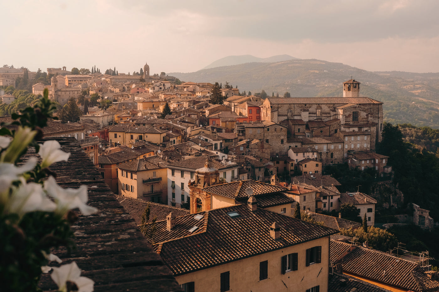
Old Colorado City, the original territorial capital, stretches along West Colorado Avenue between 23rd and 27th Streets. The brick storefronts house a cluster of galleries, a vinyl record shop, and two breweries, Phantom Canyon and Red Leg, that locals actually frequent. Park in the free lot at 24th and Pikes Peak Avenue; walk the four-block core in 30 minutes. The First Friday Art Walk (5–8 p.m.) draws a crowd, but weekday afternoons are quiet.
The Westside neighborhood, north of Uintah and west of I-25, holds the city’s best concentration of pre-1920 bungalows and the historic Ivywild School, now a mixed-use market hall with a distillery, a bakery, and a rotating pop-up kitchen. Street parking is free but limited to two hours; the nearby Ivywild lot charges $1/hour after the first free hour.
Knob Hill, east of downtown along East Platte Avenue, is the city’s most diverse corridor, Vietnamese pho, Salvadoran pupusas, and a century-old Mexican bakery share blocks with a vintage motorcycle shop. The area feels uncurated in the best way. Park at the Pikes Peak Library District’s East Library lot (free, 2-hour limit) and explore on foot.
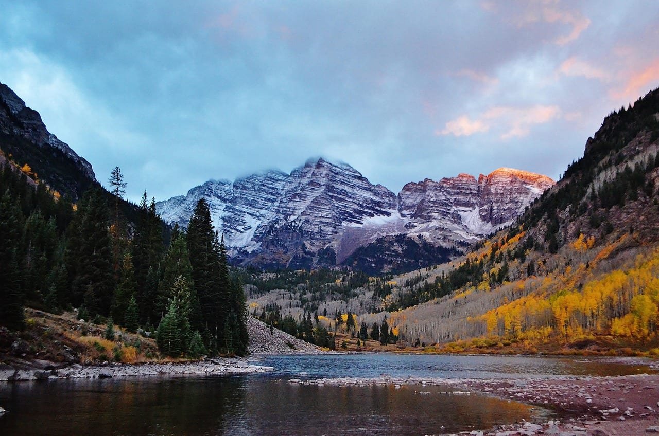
These three districts sit within a 10-minute drive of each other. Link them in a half-day loop: breakfast in Knob Hill, coffee and vinyl in Old Colorado City, late lunch at Ivywild. You’ll see the city’s working rhythm, not its tourist face. For a deeper dive into planning a multi-city Colorado road trip that includes these neighborhoods, see our Road Trip Northern USA: 7 Amazing Fall Bucket List Stops guide.
How Locals Actually Spend Their Time Here
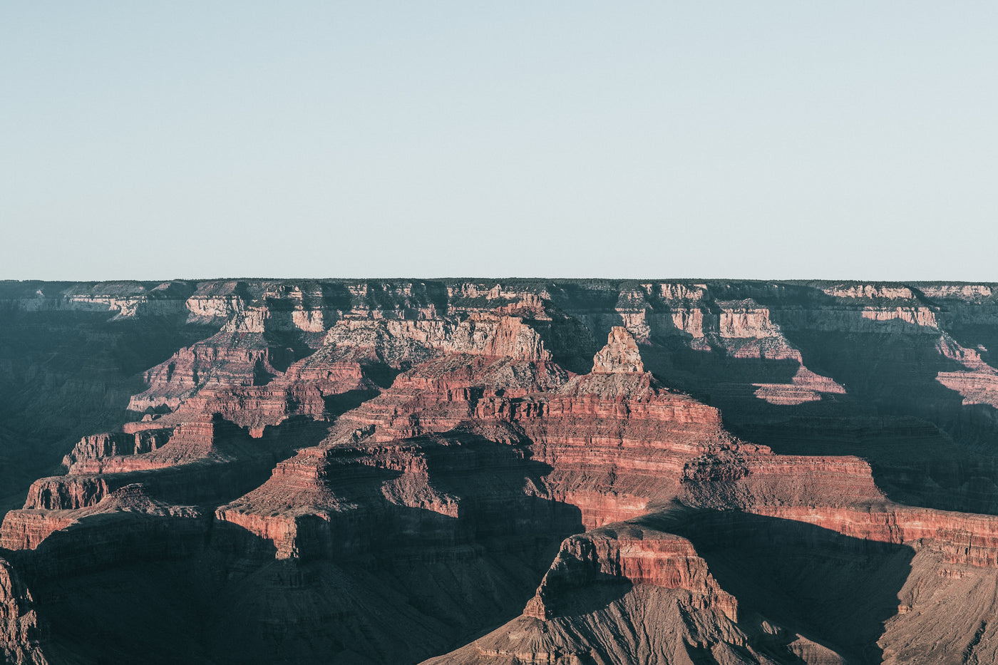
Locals treat the foothills as an extended backyard. A typical Saturday might start with a 6 a.m. trail run on the Section 16 loop at Red Rock Canyon, followed by a pour-over at Switchback Coffee Roasters on South Tejon (opens 6:30 a.m., try the Ethiopian single-origin). By 9 a.m., families with dogs occupy the off-leash area at Bear Creek Dog Park (2100 S. 21st Street) while cyclists grind up Gold Camp Road, a narrow, unpaved forest service road that climbs to 9,800 feet and connects to the South Slope Recreation Area (permit required, apply at fs.usda.gov/psicc).
Summer evenings shift to the downtown farmers market at the Pioneers Museum plaza (Tuesdays 4–7 p.m., June–September) or a concert at the Sunset Amphitheater in Rock Ledge Ranch (tickets $15–$30, bring a blanket). Winter weekends mean sledding at the Palmer Park bowl (free, bring your own sled) or cross-country skiing on the groomed loops at the Norway Center (day pass $15, rentals $20).

The common thread: activities are self-directed, low-cost, and weather-dependent. Locals check the National Weather Service forecast for the “Pikes Peak region” (weather.gov/pub) before committing to elevation. They also know that parking at popular trailheads flips from empty to full between 7:30 and 8:15 a.m. the 15-minute window that decides your day. If you’re building a broader Colorado itinerary, our Best Time to Visit USA: 7 Fall Bucket List Stops post covers seasonal timing across the state.
Best Time to Visit Before Crowds Arrive & How Many Days to Plan

Shoulder seasons deliver the best ratio of open trails to empty parking lots. Late April through early June captures peak waterfall flow at Helen Hunt, Silver Cascade, and the Stratton cascade while daytime highs sit in the 60s °F. September through mid-October adds aspen gold on the higher trails (Blodgett, Gold Camp) and stable weather, afternoon thunderstorms drop off after Labor Day. July and August bring monsoon storms daily after 1 p.m.; start hikes by 7 a.m. or accept getting soaked.
| Season | Weather | Crowds | Price Level |
|---|---|---|---|
| Apr–Jun | 50–70 °F, waterfalls peak | Low–Moderate | Moderate |
| Jul–Aug | 75–90 °F, daily storms | High | High |
| Sep–Oct | 55–75 °F, stable, fall color | Low | Moderate |
| Nov–Mar | 20–50 °F, snow on high trails | Very Low | Low |
Three full days lets you group the seven gems geographically: Day 1 covers the Cañon corridor (North Cheyenne Cañon, Stratton, Rock Ledge Ranch). Day 2 tackles the west side (Red Rock Canyon, Manitou Springs, Blodgett Peak). Day 3 is the urban loop (Monument Valley Park, Old Colorado City, Westside, Knob Hill). Two days forces a choice between the high-effort summits (Blodgett, Stratton) and the historic districts. One day means picking either the waterfalls or the neighborhoods, not both.
Lodging rates follow the same curve: downtown hotels average $180–$250/night in summer, $110–$150 in shoulder season. Book refundable rates; a single storm system can shut Pikes Peak Highway and the Incline for 24 hours. For more on seasonal planning across the Southwest, our Plan a San Antonio Trip Itinerary: 7 Amazing Fall Bucket post outlines a similar shoulder-season strategy.
Practical Tips for Going Off the Beaten Path

Transport: A rental car is non-negotiable. Mountain Metropolitan Transit (mountainmetropolitan.org) runs buses to Manitou Springs and downtown, but trailheads at Red Rock Canyon, Blodgett Peak, and Stratton have zero transit access. Uber/Lyft operate citywide but surge to $40+ from the airport to the west-side trailheads on weekend mornings. Reserve a compact SUV, ground clearance matters on Gold Camp Road and the Blodgett trailhead approach.
Safety: Afternoon lightning is the real hazard July through August. The National Weather Service issues “Hazardous Weather Outlooks” by 6 a.m.; check before you leave the hotel. Carry a lightweight rain shell and a headlamp even on day hikes, storms can drop visibility to zero in minutes. Altitude sickness hits visitors from sea level above 7,500 feet; hydrate aggressively (3+ liters/day) and limit alcohol the first night. Cell service is spotty above 8,000 feet; download offline maps (Gaia GPS or AllTrails+) before you leave cell range.
Language: English is universal. Spanish is common in service roles; a few phrases ("¿Dónde está…?", "La cuenta, por favor") earn goodwill in Knob Hill and Manitou kitchens. Trail signage uses standard USFS symbols, no translation needed.

Packing essentials for hidden-gem days: 2.5 L hydration reservoir, wide-brim hat, UPF shirt, trail runners with rock plates, packable down vest (summit temps drop 20 °F from trailhead), and a small first-aid kit with blister treatment. Leave the heavy camera; a modern phone captures the red-rock glow at golden hour.
Mistakes to avoid
- Arriving at North Cheyenne Cañon after 8 a.m. on a Saturday, the lot fills, and the road backs up to Cheyenne Boulevard.
- Skipping the $10 Colorado State Parks pass if you’ll hit Cheyenne Mountain State Park and any other state park in a year, it pays for itself in two visits.
- Assuming Gold Camp Road is passenger-car friendly, washboards and loose gravel punish low-clearance sedans.
- Forgetting cash for the Manitou Incline shuttle ($2 exact change) and the Rock Ledge Ranch admission ($8, card accepted but lines move faster with cash).
- Planning a Blodgett Peak summit after 10 a.m. in July, you will be in the lightning zone.
Secret-Spots Itinerary: Day 1, Day 2 and Day 3
Day 1: The Cañon Corridor, Waterfalls & Living History

Start at 6:30 a.m. at North Cheyenne Cañon Park. Park at Starsmore Visitor Center, walk to Helen Hunt Falls (15 min), then hike Columbine Trail to Silver Cascade Falls (1.5 hr round-trip). Drive 10 minutes to Stratton Open Space trailhead at Cheyenne Mountain State Park; hike to the seasonal cascade (2.5 hr). Lunch at the Broadmoor’s Café Julie (reservations recommended, $25–$35) or pack a sandwich. Afternoon: Rock Ledge Ranch (opens 10 a.m., last entry 3 p.m.), allow 90 minutes for the homestead loop. Exit via the Perkins Central Garden Trail underpass for a flat 1-mile sunset walk among the formations. Dinner in Old Colorado City at The Rabbit Hole (craft cocktails, small plates, opens 4 p.m.).
Day 2: West Side, High Desert & Historic Charm

Depart 6 a.m. for Blodgett Peak Open Space. Summit push takes 3.5–4.5 hours round-trip; be off the ridge by 11 a.m. Drive 20 minutes to Manitou Springs; park at Hiawatha Gardens ($10), shuttle to the Incline base if you’re attempting it (allow 1.5–2 hr up, 1 hr down), or skip the Incline and walk the Mineral Springs Tour (1 hr). Lunch at The Adams Mountain Café (vegetarian, $15–$20). Afternoon: Red Rock Canyon Open Space, hike the Quarry Trail (1.5 hr) or Section 16 loop (2.5 hr) depending on energy. Sunset at the 31st Street overlook. Dinner at Phantom Canyon Brewing in Old Colorado City (house-brewed beer, $12–$18 entrees).
Day 3: Urban Loop, Parks, Neighborhoods & Local Flavor
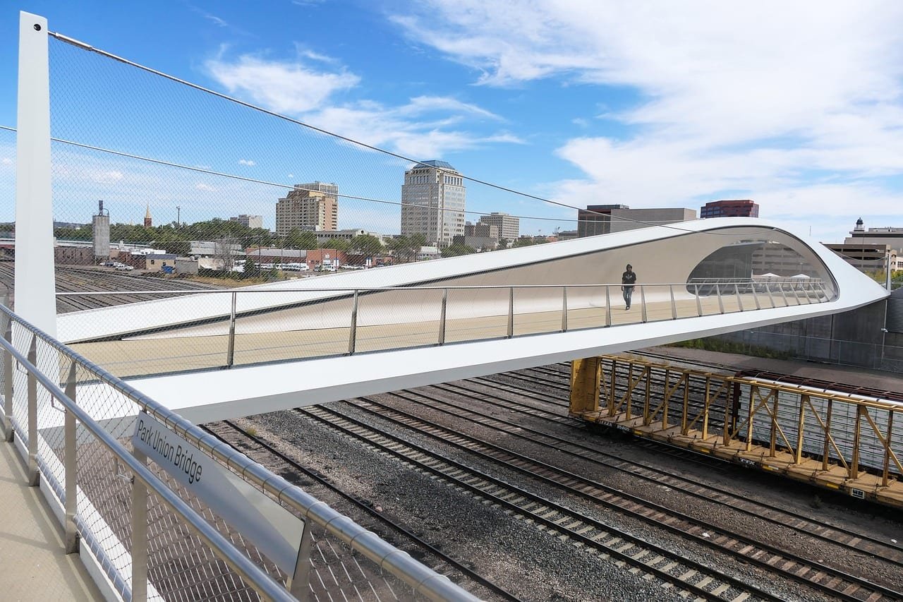
Sleep in. 9 a.m. start at Monument Valley Park, walk the paved loop north to the Greenway Trail (1 hr, flat). Coffee at Switchback on Tejon (walk 5 min from the park’s south end). 11 a.m.: explore Knob Hill, pho at Pho 79, pupusas at El Salvador, pan dulce at La Mexicana Bakery. 1 p.m.: drive to Ivywild School (park in the lot, $1/hr after first free hour), browse the distillery, bakery, and pop-up. Late afternoon: Westside vinyl hunt at Independent Records (123 N. Tejon) or a quiet beer at Red Leg Brewing (dog-friendly patio). Dinner at Shuga’s (eclectic comfort food, reservations for 6 p.m.). Nightcap at The Principal’s Office (speakeasy inside Ivywild, hidden door behind the bookshelf).
Each day builds in buffer time for weather, parking hunts, and the inevitable "one more overlook" stops. Adjust start times 30 minutes earlier in July; 30 minutes later in October.
FAQ

Are the hidden gems in Colorado Springs accessible without a car?
No. Six of the seven spots listed, North Cheyenne Cañon, Red Rock Canyon, Stratton Open Space, Blodgett Peak, Rock Ledge Ranch, and the west-side neighborhoods, have no public transit access. Manitou Springs is the only exception (Mountain Metro Route 32 from downtown). A rental car or rideshare budget of $60–$80/day is essential.
Which hidden gem is best for families with young kids?
Helen Hunt Falls at North Cheyenne Cañon Park. The paved 0.2-mile path from the Starsmore Visitor Center lot is stroller-friendly, the visitor center has restrooms and interactive exhibits, and the creek-side picnic tables allow an easy lunch. Arrive by 8 a.m. for parking.
Do I need permits for any of these locations?
Only the South Slope Recreation Area (accessed via Gold Camp Road) requires a free advance permit from the USDA Forest Service (fs.usda.gov/psicc). All other sites listed are free or pay-on-arrival (Cheyenne Mountain State Park $10/vehicle, Rock Ledge Ranch $8/adult, Manitou Incline shuttle $2). Always verify current fees on the official site before you go.


